The science of spatial data sheds new light on the questions posed by traditional demography
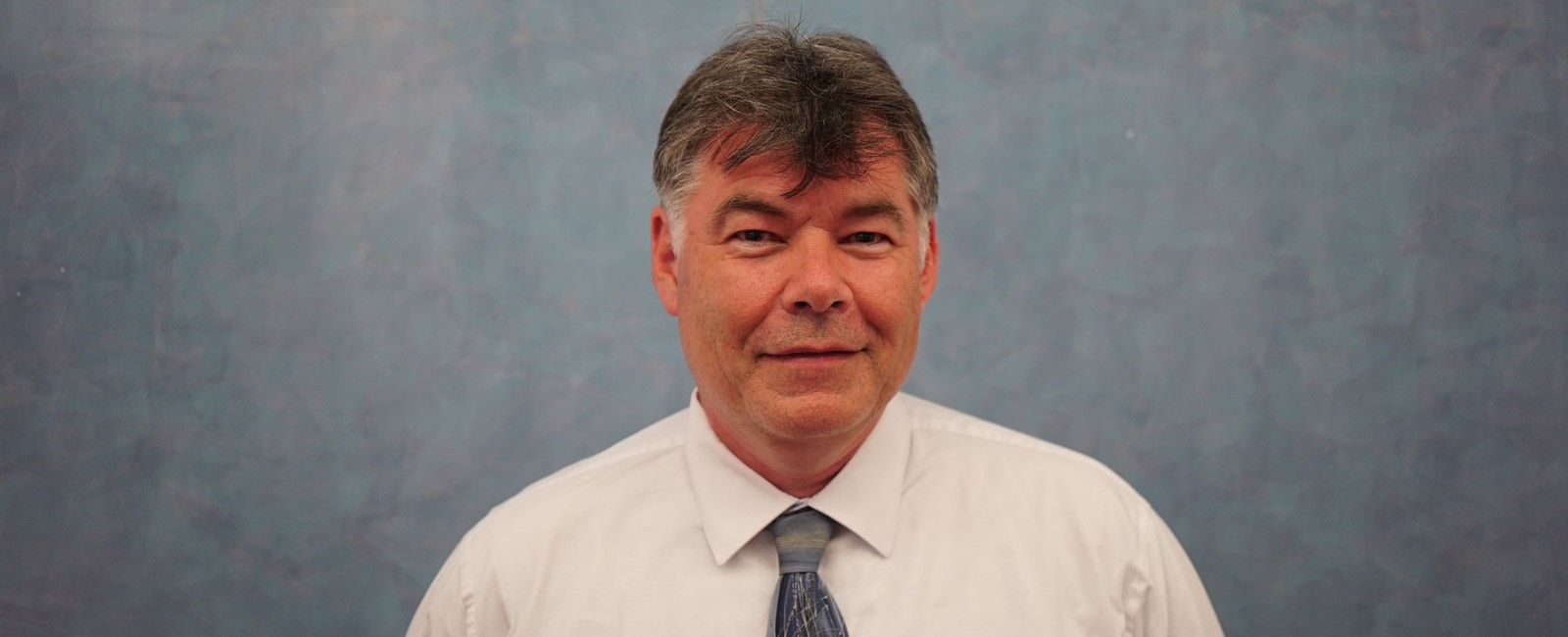
“Spatial data are highly innovative, but the questions we are asking are similar.” Stephen A. Matthews, Professor of Sociology, Anthropology and Demography at Penn State University (USA), offered this summing-up of the application of spatial demography in modern demographic studies during his talk “Spatial Demography: Progress and Prospect” on 21 May, which concludes the 2017/2018 edition of the lecture series Demography Today.
28 May, 2018
Spatial demography, Matthews explains, “envisions any spatial perspective on a demographic question.” So a study of classic topics of traditional demography, like fertility, mortality or migration, would involve, for instance, geographical information about the location of hospitals or about poverty levels in a given area. “We can then leverage that information to analyze a whole variety of different demographic questions,” he adds.
This expert defines spatial demography in “very broad” terms, while acknowledging that many in the field prefer a narrower emphasis, focusing on the study of population dynamics using spatial information. “We can look at things like population-environment relationships, crime and demography, maternal health and demography… lots of different outcomes,” Matthews explains.
Spatial data, he points out, have long been present in demographic studies, yet only now are different disciplines “rediscovering” this bounty. “We have had satellite remote sensing data for the last 40 years, but it is during the last 20, 10 or even 5 years that demographers have really leveraged that fact to look at a whole series of population and environment questions,” remarks the Penn State professor.
It is now possible to collect data on very small spatial-temporal units, or nanodata as he calls them. So, for example, a modern cellphone can give the GPS coordinates of an individual’s location, and a temporal signal will tell you at what time they were there. Aggregating this data allows us, for instance, to create a map of social segregation within a city, as Esteban Moro described in his lecture earlier in the series. The data are highly innovative but, as Matthews remarks, the purposes they are put to are essentially the same as in the past: “We have better measurements, but we don’t necessarily have differences in the concept or the theoretical frame.”
There are also growing concerns about gathering such precise information on individuals, and how it can be kept compatible with the preservation of privacy. Nowadays data can be collected from devices like cellphones or fitbits. “We can track people minute by minute, across a day, a week, a month …” In this respect, Matthews does not think there should be limitations on what researchers collect, but rather on what they analyze and how they represent the data. “We are not going to put maps on a screen that locate an individual, that is just irresponsible,” he affirms. But the demographic studies that he uses in his work are not after the map itself, but information on how far it is from a person’s workplace to their school or their home to the playground. “That is valuable information,” he adds.
Asked about the future of spatial demography, Matthews declares himself “optimistic”, since these data can lead a researcher to contemplate new questions that they weren’t able to ask before. “That is where the field becomes exciting, because we are starting to leverage new forms of data in original ways,” he concludes.

